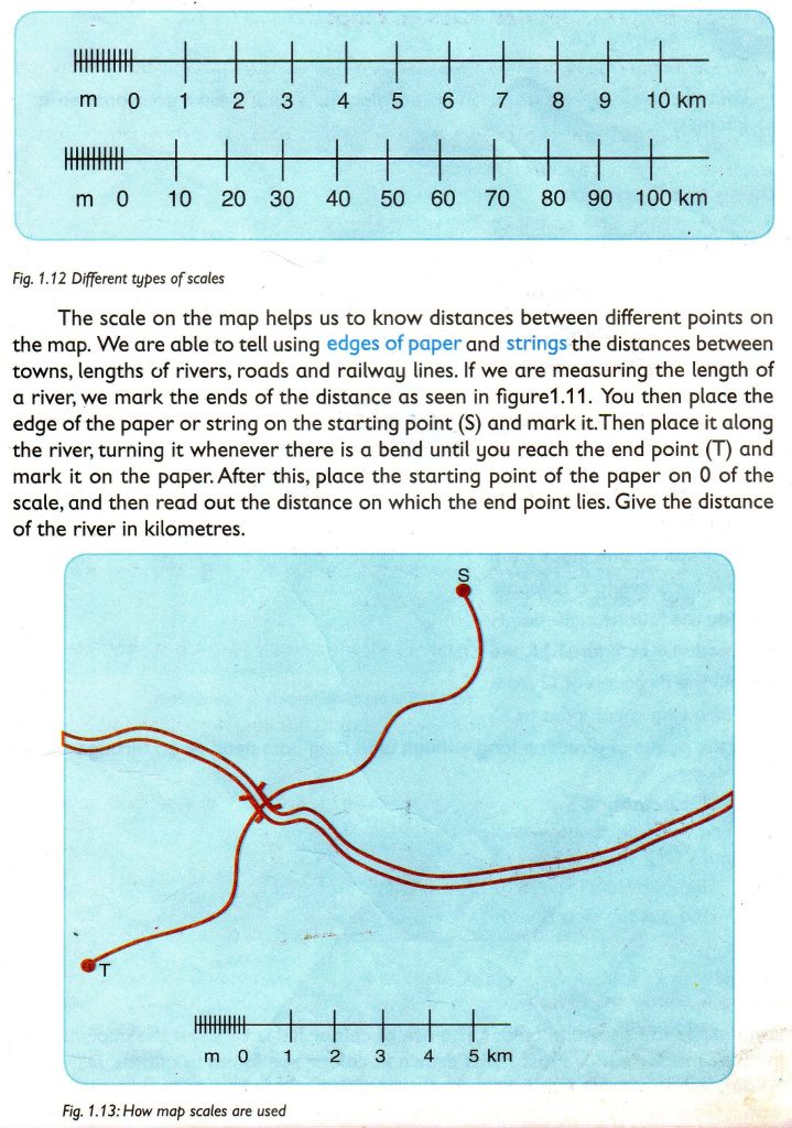
In Standard Five, we learnt that scales are used to show how much the area represented on the map has been reduced so as to fit on paper. Different scales are used to represent the area of land on paper. For example, one centimetre on the map may represent 10 kilometres on the ground. This means that if you move 2 centimetres on the map, you shall have travelled 20 kilometres on the ground.


