Racism, which was introduced by white settlers in Africa, has significantly influenced the development of the modern African individual. One aspect used to support the notion of African inferiority is the representation of Africa in maps.

Africa is the second-largest continent in terms of land area, after Asia. The approximate land area of Africa is around 30.37 million square kilometers (11.7 million square miles). To provide a comparison, here are the land area sizes of the other continents:
- Asia: Asia is the largest continent, with an approximate land area of 44.58 million square kilometers (17.21 million square miles).
- Africa: As mentioned earlier, Africa has an approximate land area of 30.37 million square kilometers (11.7 million square miles).
- North America: North America has an approximate land area of 24.71 million square kilometers (9.54 million square miles).
- South America: South America has an approximate land area of 17.84 million square kilometers (6.89 million square miles).
- Antarctica: Antarctica has an approximate land area of 14 million square kilometers (5.4 million square miles).
- Europe: Europe has an approximate land area of 10.18 million square kilometers (3.93 million square miles).
- Australia: Australia, including the mainland and surrounding islands, has an approximate land area of 7.68 million square kilometers (2.97 million square miles).
Ooh Wait a Minute.
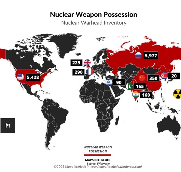
The perception that Africa appears smaller than Russia on most maps is primarily due to the distortion caused by the projection used to represent the spherical Earth on a two-dimensional map. Most world maps use the Mercator projection, which was developed in the 16th century for navigational purposes. The Mercator projection preserves accurate angles and shapes of small areas but distorts the sizes of landmasses as they move away from the equator.
Since Africa is located closer to the equator, the Mercator projection tends to stretch out land areas toward the poles. On the other hand, Russia extends far to the north, where the projection minimizes the distortion. As a result, Russia appears larger on most maps than it actually is, while Africa seems comparatively smaller.
It’s important to note that there are alternative map projections, such as the Peters projection or the Robinson projection, that attempt to minimize size distortions and provide a more accurate representation of land areas. However, no map projection can perfectly represent the Earth’s curved surface on a flat map.
